- Add your terrain mesh to the scene
- Set the camera vertically above the center of the terrain, at the proper height to enclose exactly the mesh (see the image below).
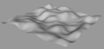
Terrain
As a warming-up before reaching the exciting subject of focal blur and
depth of field, let's see how to make height maps of terrains with Anim8or!
Why should you want to make height maps? Maybe just for fun, or you need
them in a game making program, you want to recreate the Anim8or terrain
in a different application unable to import the mesh from Anim8or, or you
feel you just love doing jobs... (provided that they take no more than
three minutes)!
| I assume you have a basic knowledge of Anim8or's menu commands, so
let's start working!
- Add your terrain mesh to the scene - Set the camera vertically above the center of the terrain, at the proper height to enclose exactly the mesh (see the image below). |

Terrain |
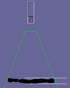
Measuring y_min and y_max |
- Double-click the camera and write down the y-coordinate (y_camera)
- Find out the minimum and maximum height of the terrain. This can be done easily using plain objects (create in Object mode, top view a default hexagon, for example) added twice to the scene. In front view displace them to touch the vertical margins of the mesh (see the image on left). Double-click each measuring object and write down the y-coordinate for both (y_min and y_max), then delete the plain objects. - Apply on the terrain a perfect white material (ambient = diffuse = specular = 0, emissive = 1, emissive RGB=(255,255,255)) - In the Environment settings uncheck the ground grid, enable fog, and make the fog color completely black. For Start, enter the value of (y_camera - y_max) and for End, (y_camera - y_min), leaving the fog level at the default 100%. - Render the height map from camera view (see the image below). Done. |
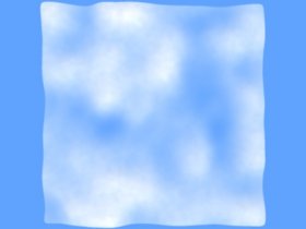
| Now just change the fog color to a blue shade. Render the image of a cloudy sky (below - left). For the "scientific accuracy" of the height map we needed to have only the emissive component of the material, but for a more interesting cloud image you may enable a certain amount of diffuse component, or add some grainy diffuse map, or a transparency map (below - right). |
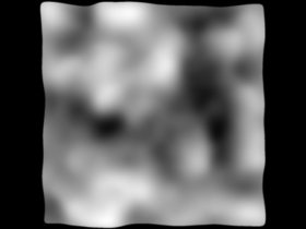
Height map |
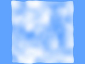
Emissive clouds |
Emissive and diffuse clouds |
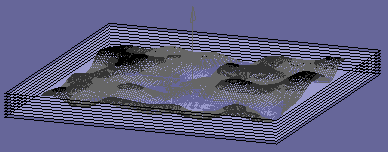
Back to the height map. Add several times to the scene a gray filter
(a plane with a black material, ambient = diffuse = specular = emissive
= 0, transparency = approx. 0.15) and distribute these objects evenly between
y-min and y-max (see below on left) like slicing the scenery mesh; disable
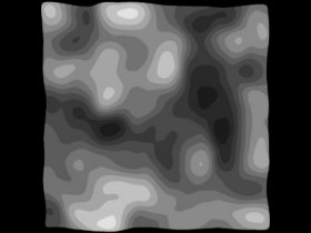
the fog. Render a topography image of the terrain (below - right).
Slicing the terrain
|
Topography image |
Now we may attack the subject of focal blur!